Slow roads are pathways designed for non-motorized traffic. Having a complete map of slow roads unlocks various opportunities. Whether you’re a hiker searching for undiscovered trails or a policymaker aiming to improve sustainable mobility, detailed mapping can enhance accessibility and usability.
Why Mapping Slow Roads Matters
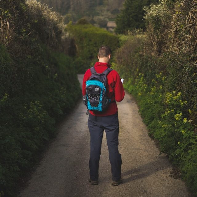
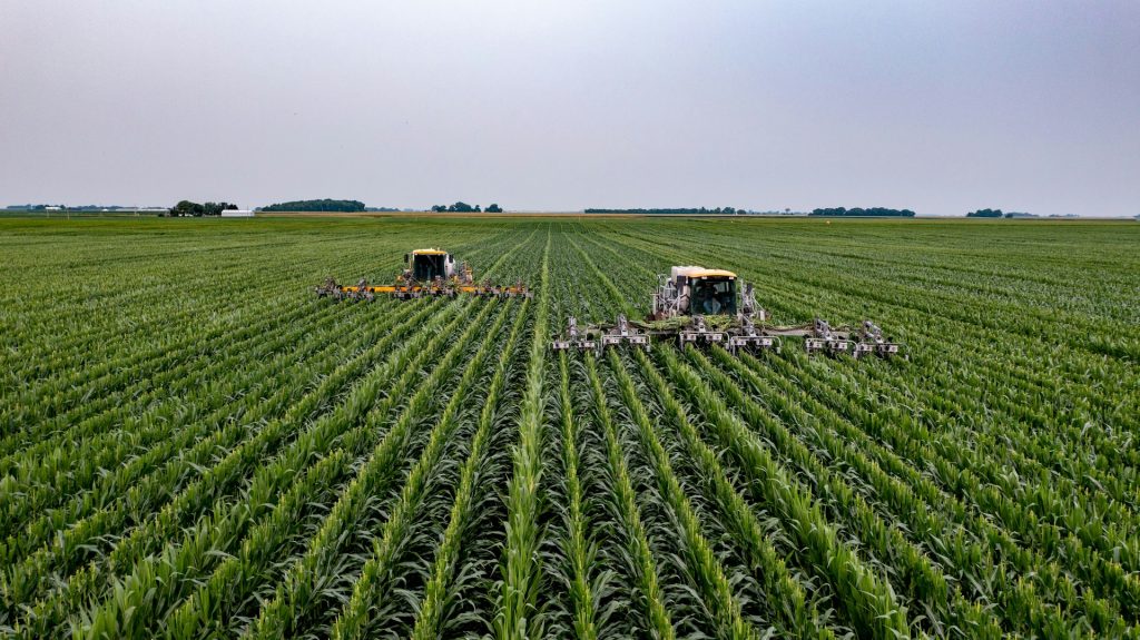
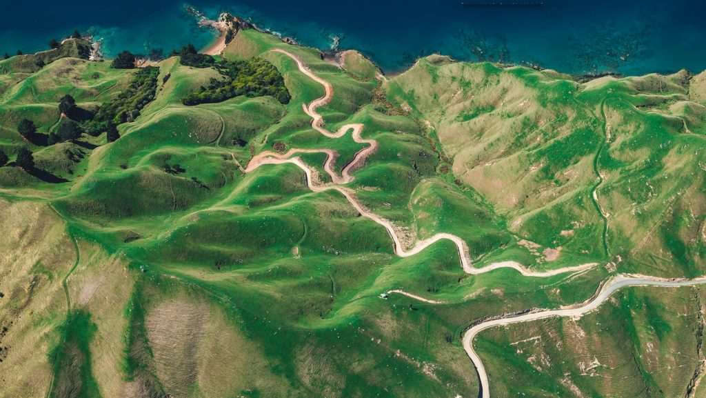
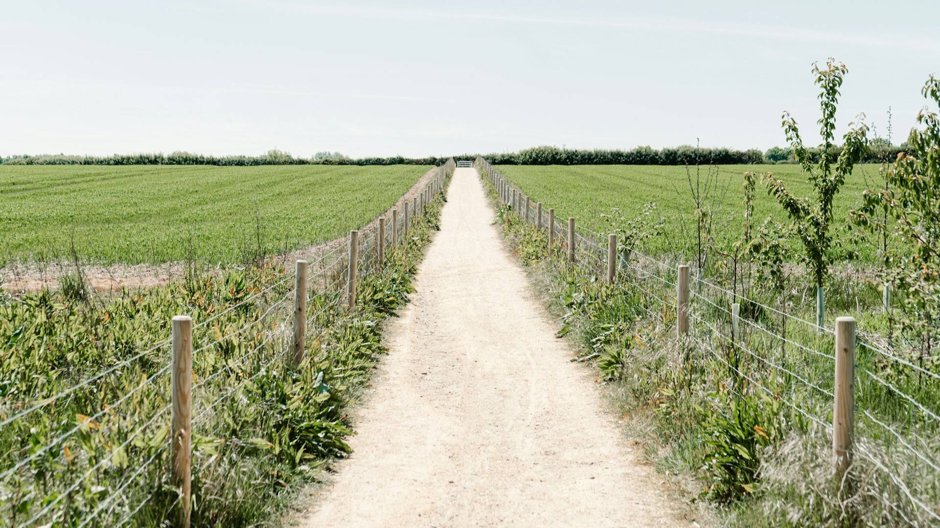
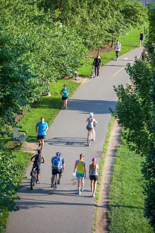
Slow roads can be found everywhere, from forest trails and field roads to towpaths along canals and hidden shortcuts in villages or cities. These roads provide safe, and sometimes scenic alternatives to busy roads, making them ideal for outdoor enthusiasts, daily commuters, and recreational users.
Investing in slow roads is a step toward sustainable mobility. As cities and rural areas look for eco-friendly transportation solutions, prioritizing safe walking and cycling infrastructure becomes essential.
- Encourage active lifestyles
- Reduce carbon footprints
- Improve local tourism and recreation
- Support green urban planning
GIS for Smarter Route Planning
Beyond simple mapping, GIS technology enables intelligent route planning. Imagine a child cycling to school, wouldn’t it be great if they could avoid busy streets and instead take a safer, quieter slow road? This is possible with GIS.
By assigning scores to different road segments based on safety, surface quality and landmarks, GIS can generate optimized cycling and walking routes. Even the weather conditions can be taken into account. For example:
- During dry weather, a scenic dirt path may be preferable.
- After heavy rain, an alternative paved route could be suggested to avoid muddy terrain.
- During low–light conditions, paths with better lighting and visibility could be prioritized in low.
This type of route optimization mirrors how GPS systems calculate the fastest driving routes based on speed limits, roadworks, and traffic congestion. By applying similar logic to pedestrian and cycling pathways, GIS makes every day travel safer and more enjoyable.

The Power of Citizen Science
Community participation plays a key role. Mapping slow roads is not just a technical task, it’s a community-driven effort. Engaging local residents and volunteers creates a more comprehensive and up-to-date database.
Using mobile apps, volunteers can collect and document crucial data about local slow roads, including:
- Name and location
- Surface type (paved or unpaved)
- Width
- Accessibility
- Condition
- Seasonal usability
- New or recently restored paths
- Temporary obstacles (e.g., fallen trees, construction)
- Local landmarks or points of interest
This citizen science approach not only strengthens public engagement but also improves the overall quality of mapping initiatives.
Discover Slow Roads Near You
If you’re passionate about walking, cycling or sustainable transport, getting involved in mapping slow roads is a great way to make a difference. Through volunteering, data collection by using (mobile) GIS applications, your contributions can help create better and safer routes for everyone.